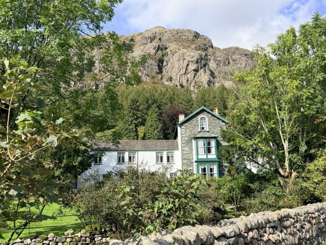
Parking for Lingmoor Fell walk: Old Dungeon Ghyll LA22 9JY
What 3 Words for Lingmoor Fell Brown How Summit: ///vibrating.rephrase.motel
Distance: Approx. 5.5 miles
Difficulty: Hard
Ascent: 502m
Time: Approx. 2.5 – 3 hours (return walk)
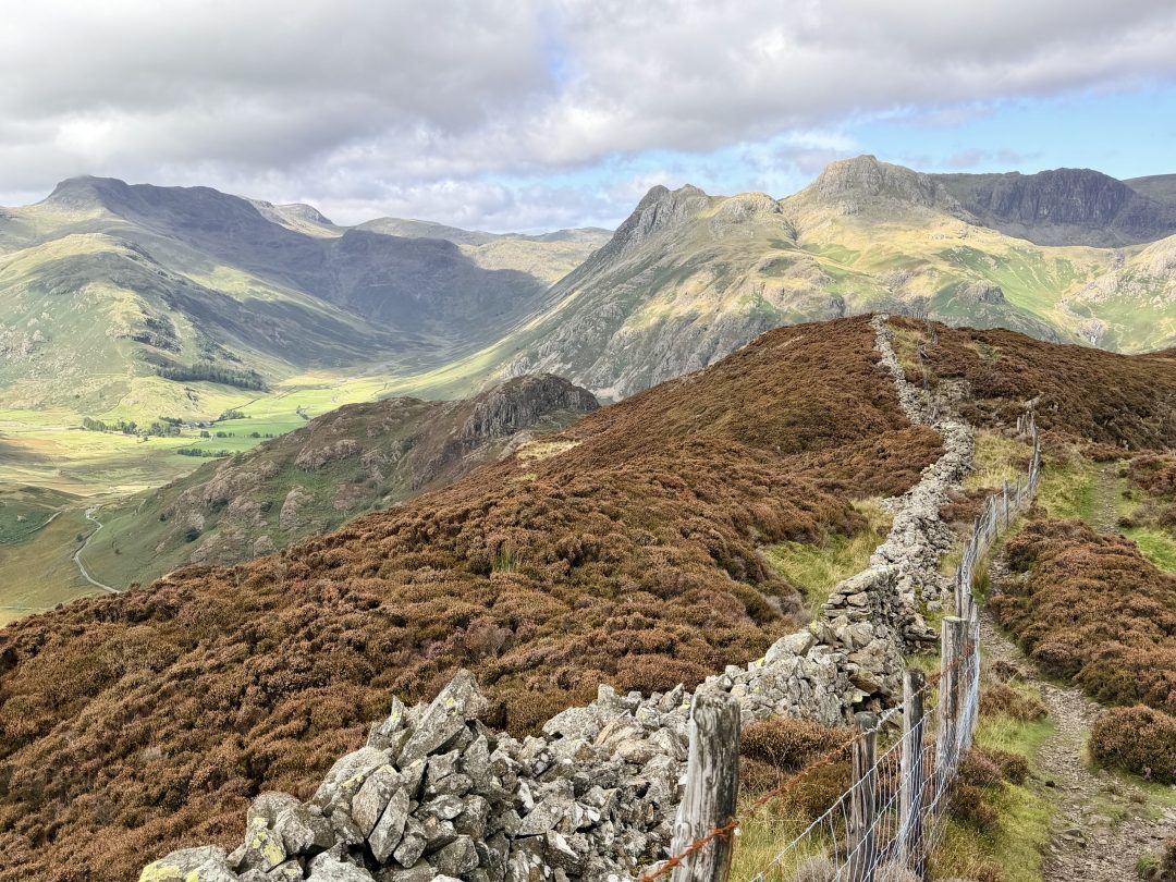
If you crave jaw-dropping panoramas, classic rugged terrain and a sense of adventure, this loop from the Old Dungeon Ghyll is a must. While this Lingmoor Fell walk is one of the most scenic in Langdale, you certainly have to earn the rewards.
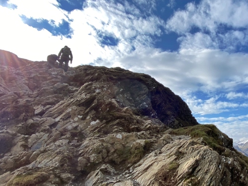
The trail is frequently rocky and steep with loose scree and needs concentration. You’ll encounter some scrambles and the descent requires a steady head and plenty of hands-on-rock action. There are sudden drops alongside narrow, sometimes indistinct paths, and the step stiles, coupled with rugged terrain, make this route difficult for dogs. If you’re properly equipped with sure-footedness, the visual payoff is among the best in the Lake District.
You can pay to park at the Old Dungeon Ghyll but if you want to shorten the walk, use the Blea Tarn car park at Side Gates, directly opposite. Spaces here are very limited and fill up fast.
Blea Tarn, Lingmoor Fell and Side Pike Circuit
Old Dungeon Ghyll to Blea Tarn
Start out from the Old Dungeon Ghyll Hotel. From the road, head right until you reach the post box and a sign for Stool End Farm. Take a left and follow the lane until you arrive at the Great Langdale campsite.
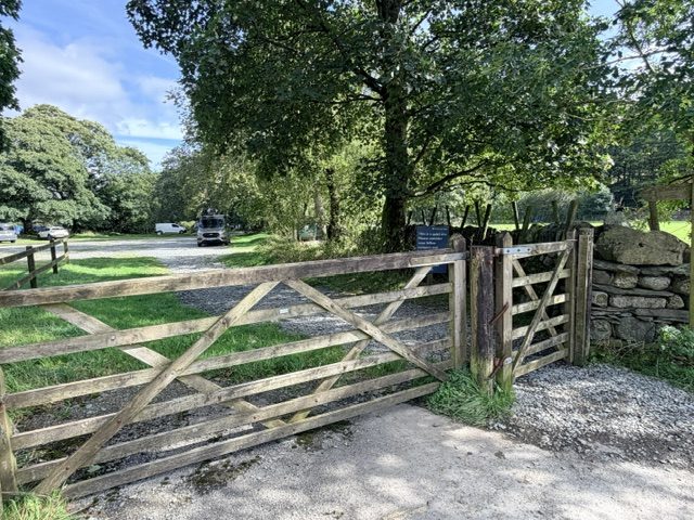
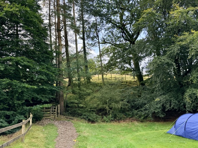
Enter the campsite and head right over a small bridge, through some woodland and into an open field overlooking the valley, passing through several gates.
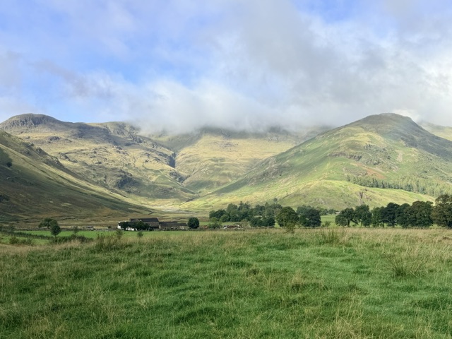
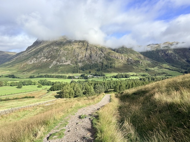
Keep following the trail that gradually steepens and runs below Side Pike. Behind you, there are magnificent views over the Langdale Pikes and valley.
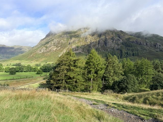
Stay on the path until you reach a gate on your right, next to a cattle grid. Walk down to the road, past the cattle grid on your left and pass through another gate on your left.
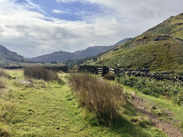
Follow this path as it leads you on the well-trodden Blea Tarn walk through a stretch of woodland, over a small wooden bridge and to the opposite side.
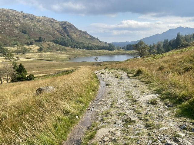
The views from here are spectacular with the Langdale Pikes reflecting on the water. Blea Tarn is also a popular place for swimming.
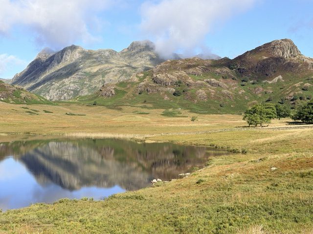
If you prefer a shorter hike, you can skip the Blea Tarn walk and continue along the road, past Blea Tarn House.
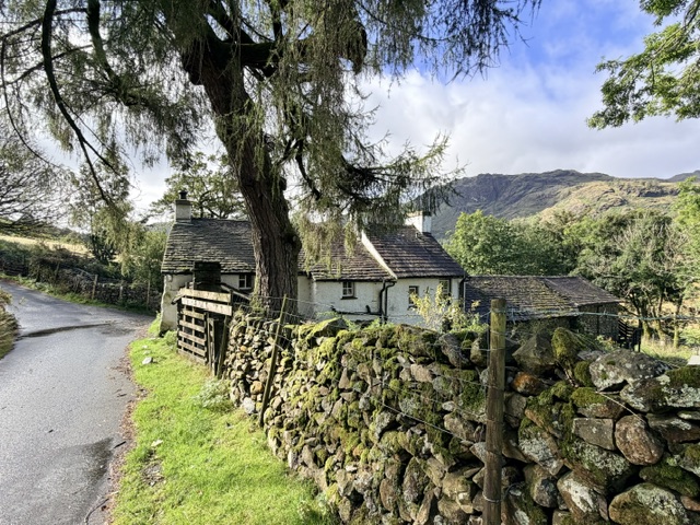
Lingmoor Fell from Blea Tarn
Walk up towards the road that runs adjacent to Blea Tarn. Turn right out of the gate then through another gate next to a cattle grid.
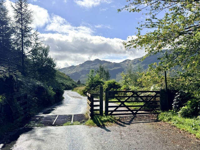
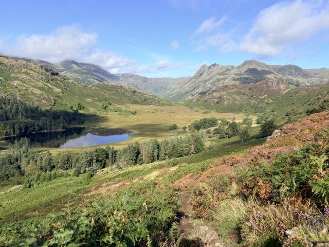
Just after the little stream that runs below the road, take a left and follow a narrow, bracken-lined path uphill. As you climb higher, beautiful views over Blea Tarn and the Langdale Pikes open up.
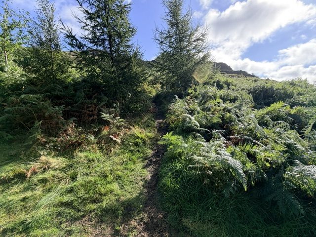
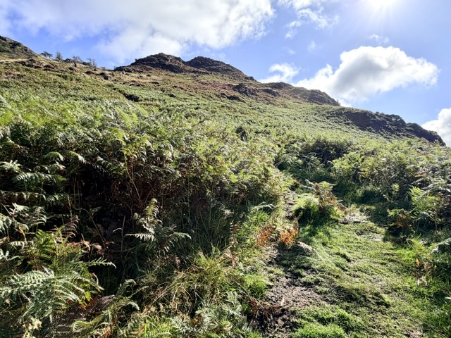
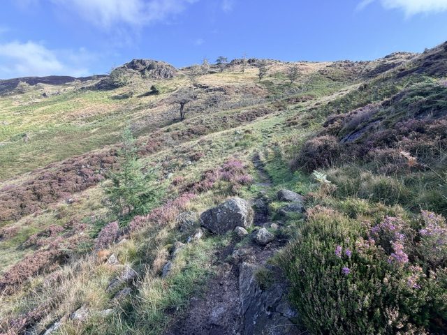
The narrow trail winds up past Birk Knott over loose scree, small knolls and boggy ground.
When you reach the stone wall at the end of the ghyll, veer right then left and follow the path that runs up alongside it.
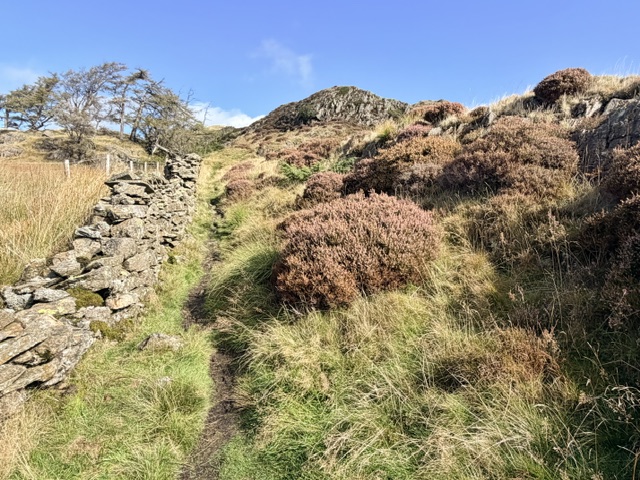
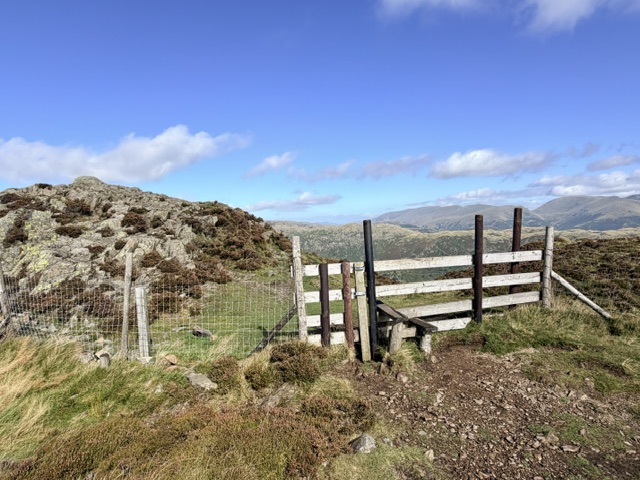
Keep following the undulating wall as it climbs up to a stile.
As you cross the stile, you’ll see the narrow winding path leading to the rocky summit of Lingmoor Fell, also known as Brown How.
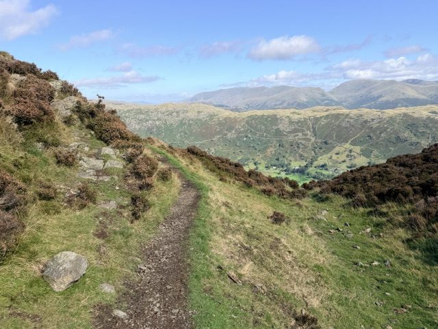
The 360-degree panorama is just breath taking and you can see over to Windermere, Langdale Pikes, the Coniston Fells, and even Yorkshire on a clear day, making the uphill trek worth the effort.
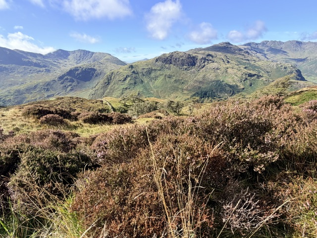
Lingmoor Summit to Side Pike
From the summit of Lingmoor, drop down to the path that runs along the fence and wall.
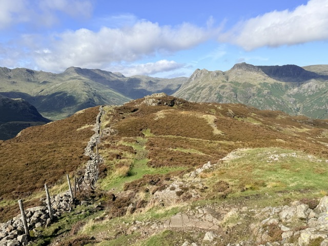
This is where you’ll see the best views of the Langdale Pikes. There are several rock scrambles, and you’ll pass Lingmoor Tarn on your right.
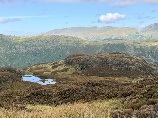
Further along, the trail drops down by the side of another knoll. I chose to climb up the path here for more fabulous views over Blea Tarn and the Langdales but there are some steep rocks to navigate on the other side. Alternatively, just continue down the path alongside the wall.
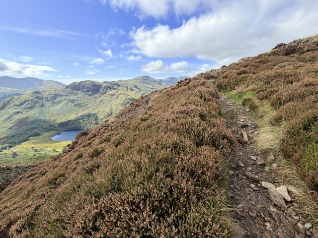
As you start to approach Side Pike, cross the stile on the left and follow the path, now with the wall on your right.
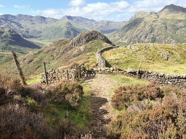
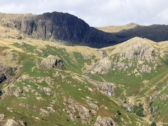
There are some great spots along here that look onto Stickle Ghyll and Pavey Ark.
Side Pike and Fat Man’s Agony
When you reach the col between Lingmoor and Side Pike, follow the path that zig zags up to the south facing wall.
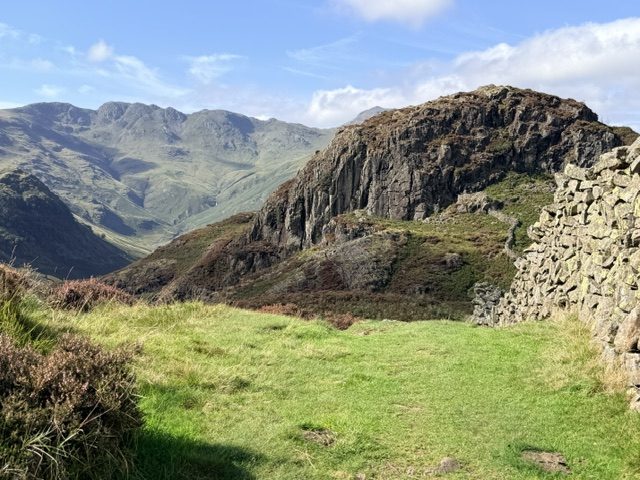
It then dips down before winding around to a tight cleft in the wall, known as Fat Man’s Agony (apologies for the insensitive geographical name!)
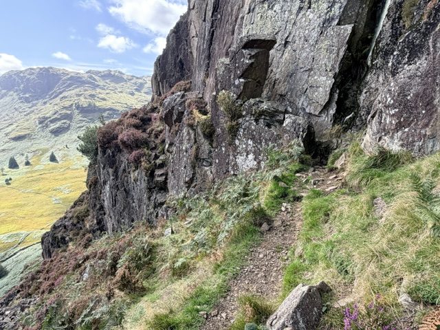
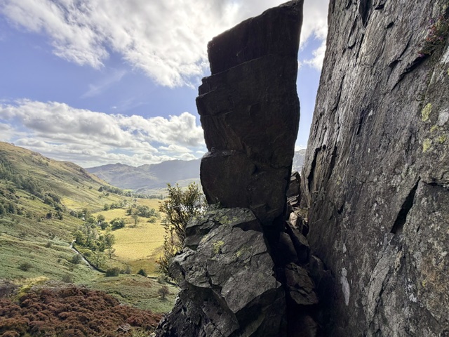
Once you’ve squeezed, shimmied and manoeuvred your way through the gap, there’s an extremely narrow path with a sudden drop to the left. You’ll need a head for heights and some very careful footing along here.
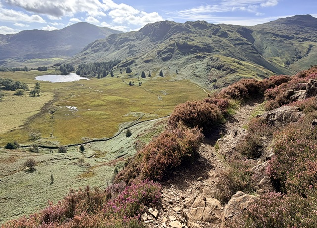
Continue along the trail as it winds around and up to the west ridge of Side Pike. Where the trail forks, take the path on the right that leads you over false summits to the top of Side Pike.
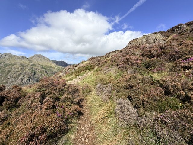
Be very cautious as there are precipitous drops here. Look back over Lingmoor and towards Langdale Valley.
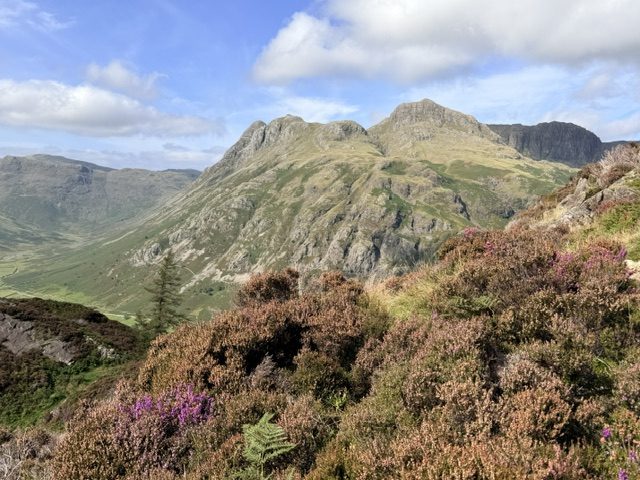
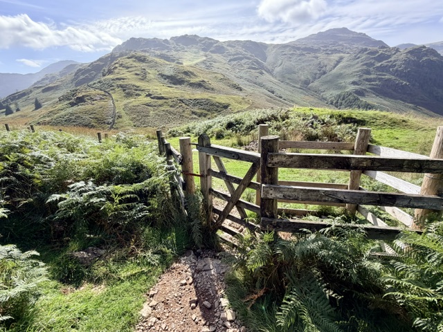
Return back down the west ridge of Side Pike and begin your descent back to the first cattle grid on Side Gates. Before you reach a kissing gate on the fellside, there are some rocky terraces that require using your hands on the steep sections.
Side Pike to Old Dungeon Ghyll
At the base of Side Pike, return along the path on the right that descends towards the valley floor, through the campsite. All that’s left to do on this Lingmoor Fell walk is to make your way back to the Old Dungeon Ghyll for a well-earned drink!